Map the field
Bring orthophotos, DSMs, and point clouds together in a practical desktop workspace built for large mapping projects.

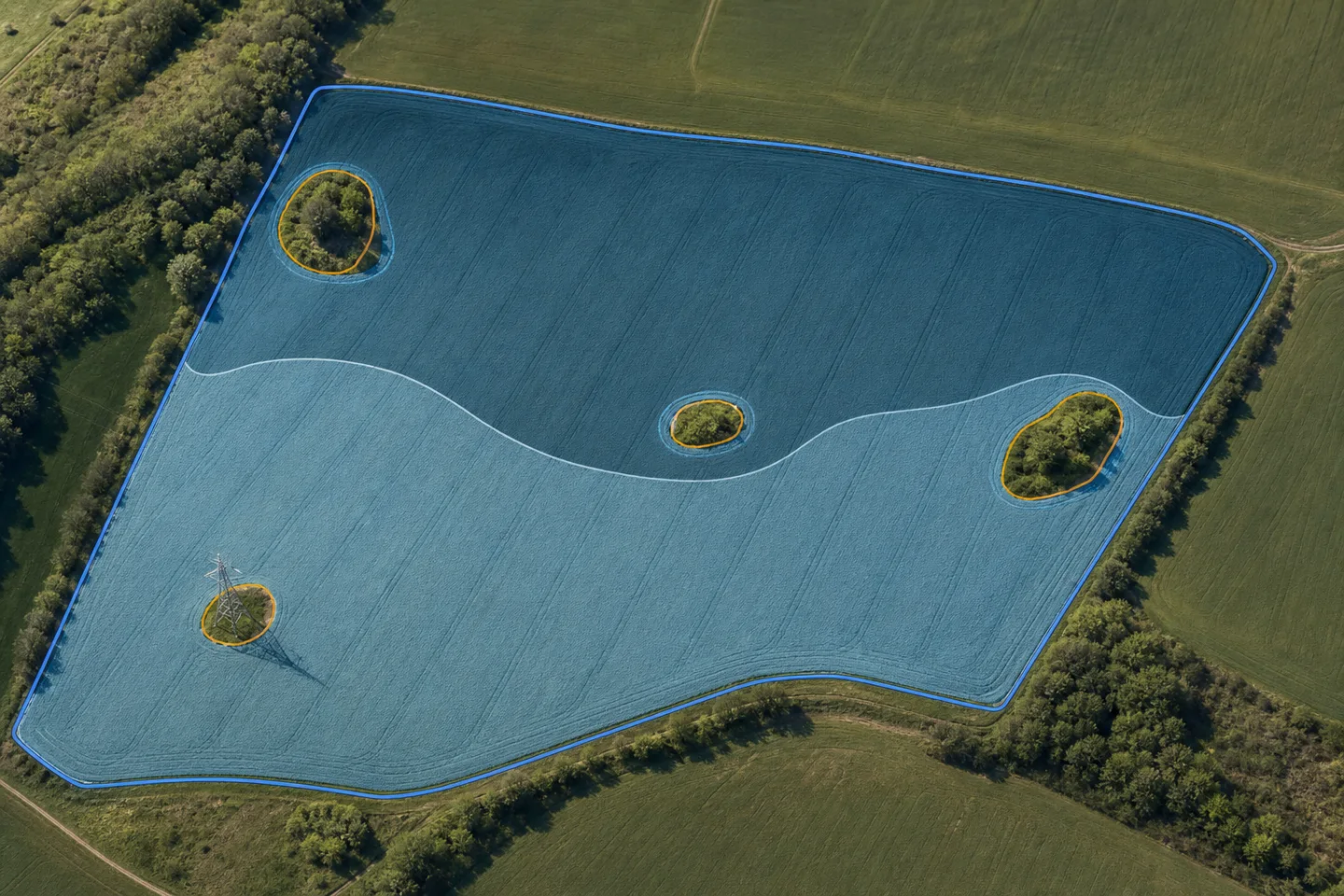
Create field boundaries, spray zones, and obstacles from your map data, then convert the finished project into an XAG-ready HD Map.
Bring orthophotos, DSMs, and point clouds together in a practical desktop workspace built for large mapping projects.
Draw field boundaries and spray zones, then mark obstacles so the important features of each site are clearly represented.
Review and organize each map in a local-first workflow that keeps project files on your computer and under your control.
Once the boundaries, spray zones, and obstacles are set, Apex Itinera prepares the field data for XAG's HD Map workflow—so you can move from mapped data to a field-ready package with fewer manual conversion steps.
Orthophotos, DSMs, and point clouds
Boundaries, spray zones, and obstacles
Prepared for the next field operation